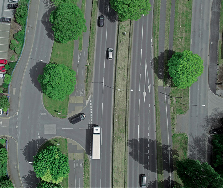
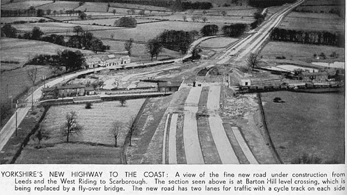
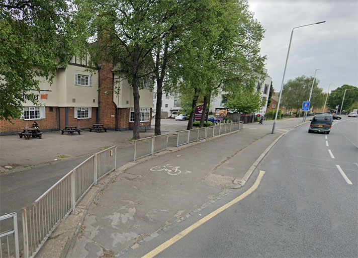
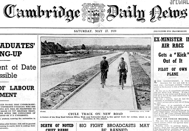
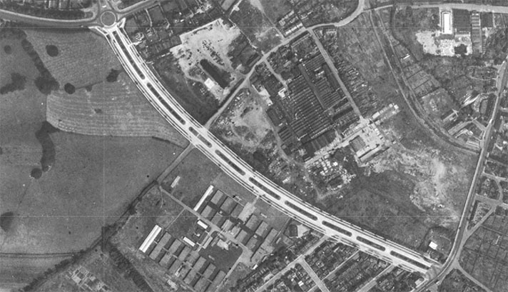
According to OpenCycleMap there are no cycle tracks or footways on the Scaftworth bypass. Period sources confirm they existed. Today they are mostly covered by undergrowth.
“Plans for the construction of a new road to by-pass the village of Scaftworth, near Bawtry, have been approved by Mr. Hore-Belisha, Minister of Transport,” reported a newspaper in 1935.
“Dual carriageways and cycle tracks will be provided throughout,” continued the newspaper, adding that a “footpath will be constructed on the west side.”
There is certainly space for a 9ft cycle track and a 6ft footway in the greensward next to the road on the west side. Excavation would be required to find the extents as there is no period reference to the width of the track or footway.
It’s likely the track was operational by the end of 1938. A letter to the MoT’s chief engineer from the Eastern division’s road engineer on 29 May 1937 stated that construction had started on the cycle tracks of the Scaftworth bypass at the end of March of that year. He added that the 0.47 mile cycle tracks were surfaced with “Tarpaving.”


