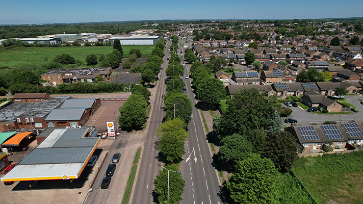
Aughton, A59, “Northway,” Lancashire

OS 1937-61
Modern Map
Date opened/built:

1937.

Length:

“Slightly over a mile in length,” said newspaper report. Impossible to work out period extent because of extension through to Maghull cycle track and beyond, but probably 1.6 miles (2,700m).

Width:

9ft (2.74m).

Adjoining footway:

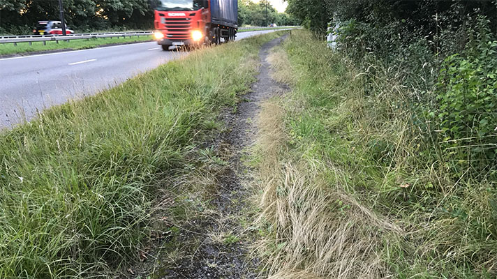
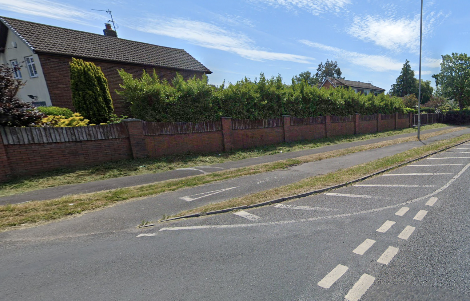
Yes, but footway disappears at https://goo.gl/maps/axoUkYcF9pLNpJwXA

Road type:

Rural dual carriageway.

Surface:

Modern asphalt today. Period road was concrete said Lancashire Evening Post and cycle track was “bituminous sand carpeting topped with fine granite.”

Both sides of road:

Yes.

Adjacent to social housing:

No.

Period mapping:

OS Six inch, revised 1938, published 1948 https://maps.nls.uk/view/101103062. No cycle tracks marked but wide road.

OpenCycleMap status:
Sources:

Period newspaper reports and period photographs.

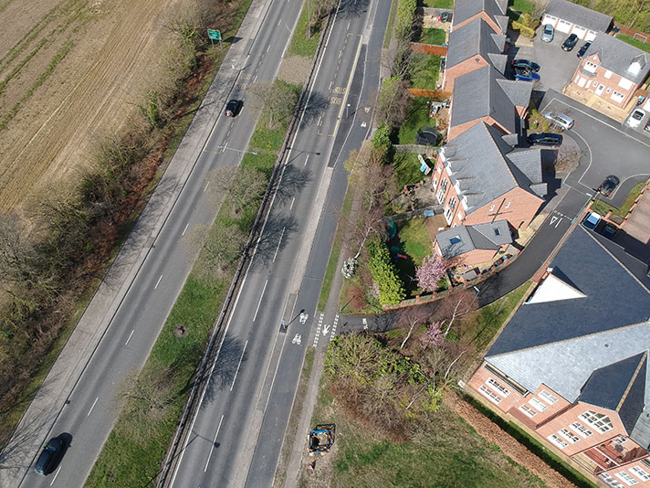
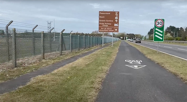
Footway and cycle track at start of Aughton bypass. Via Google Street View.

“The new Aughton diversion, which is part of the Lancashire County Council’s scheme to improve the Preston to Liverpool road, was to-day officially opened by Lord Derby,” reported Lancashire Evening Post in May 1937.

“The new by-pass is 120 ft wide wide [and] is slightly over a mile in length,” continued the newspaper, [and it] has two carriageways, two cycle tracks — the first to be opened in the rural part the county — two footpaths, and cost £45,000.”
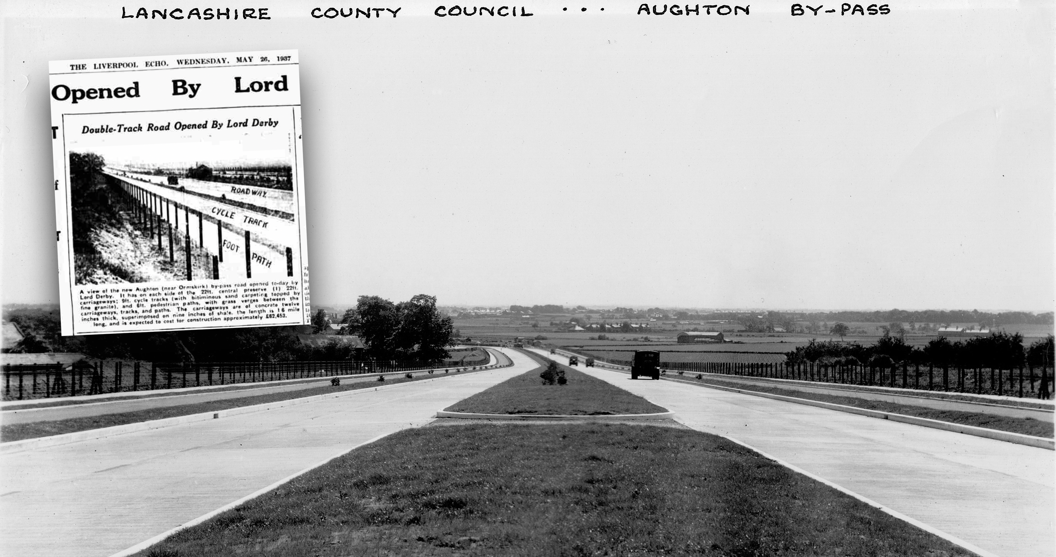
Aughton Bypass. Main photo via Mike Ashworth. Inset from Liverpool Echo, 26 May 1937, announcing bypass opening.

Lord Derby, said the newspaper, “congratulated the Lancashire County Council on making provision for cyclists for he felt sure the provision of cycle tracks would result in the saving of many lives.”

NOTES

“The new Aughton diversion ... Lancashire Evening Post, 26 May, 1937. With same report in Liverpool Echo of same date.

Explore the tracks