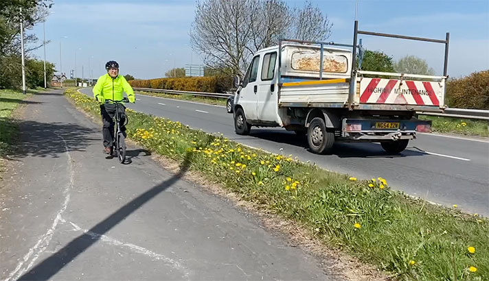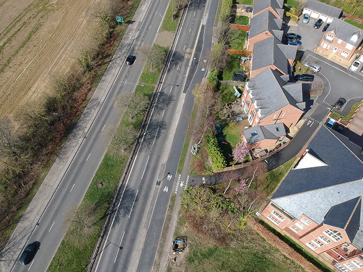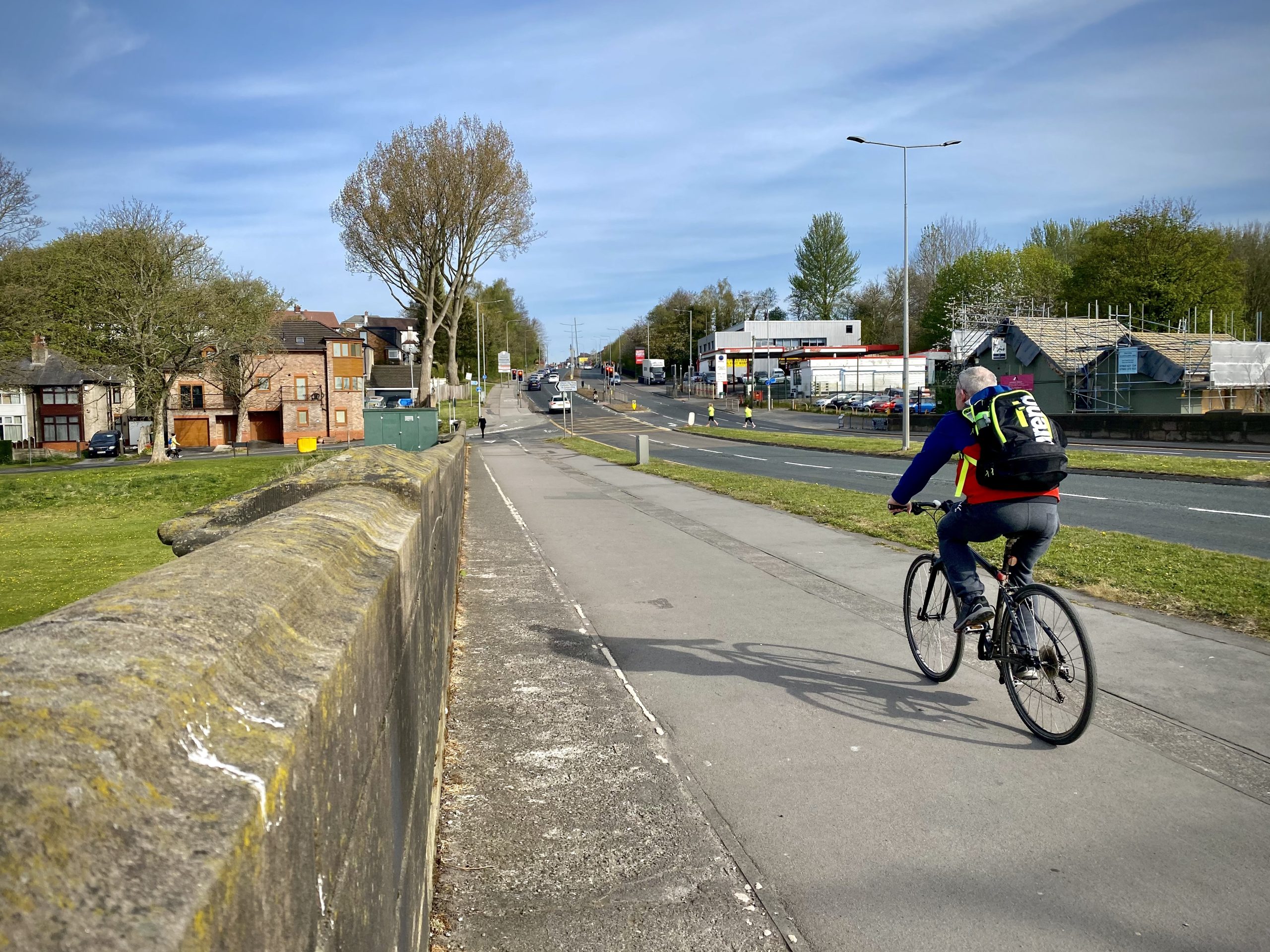
Shared-use path on Walton bridge, Preston.
Walton bridge could be said to have been the catalyst for the opening, in 1958, of the Preston Bypass, the first part of Britain’s motorway network. London Road on the north side of the bridge and Victoria Road on the south side were part of the London-Carlisle trunk road, A6, and Walton bridge was a notorious bottleneck on the road.
“A feature of the traffic on this road is the exceptionally large number of pedal cyclists, averaging about 2,700 day,” reported a newspaper in 1938, and the wide path on the bridge could have been created to remove this slower moving traffic.
The path is demarcated with concrete strips with an apparent route for cyclists being wider than the roadside strip suggested for pedestrians. This demarcation post-dates the widening of the bridge.
The original bridge dates to 1779-81 with another carriageway added between 1939 and 1950.
It’s likely that the outbreak of war stopped work on the widening. Originally the carriageways were supposed to be widened to allow cyclists room on the road but clearly this plan was later changed, although no documentary evidence for this has yet been found.
The wide path continues over the bridge and up the hill for a short distance.
“The Minister of Transport has made arrangements for work to begin immediately on the widening of Walton Bridge,” reported the Lancashire Evening Post at the end of December 1938.
“It has been decided to widen the bridge and immediate approaches to 80 feet to accommodate dual carriageways — separated by a central reservation — and two footpaths,” continued the newspaper.
A period photograph of the bridge nearing completion — perhaps dating to 1948 or 1949 — shows the central reservation and footways each side of the bridge, with the one on the west side having what appears to be a grass verge to its left. Workmen — and road building materials — are seen on what would become the wide footway and cycle track leading up the hill to Preston.
“A feature of the traffic on this road is the exceptionally large number of pedal cyclists, averaging about 2,700 day,” reported the Lancashire Evening Post in 1938, “and [due to] the absence of room on the approaches for cycle tracks it is proposed to meet the requirements of cyclists by adopting width of 27ft. for each carriageway.”
It’s probable that this plan was modified after the bridge was opened in c.1950, with perhaps the original contractors — Ormerod and Shields of Preston — digging up the grass verge beside the bridge and converting it into a cycle track, and linking with the wide path/track uphill on London Road to Frenchwood Avenue.
A 1950s photograph shows a traffic jam on the bridge, with an empty wide path/track on the west side. No demarcations are evident in this photo. Another shows two school boys pushing their bikes along the path/track in about 1962 — again, no demarcations can be seen. The widening of the path/track, with added demarcations, is likely to be post-1960s but it’s probable that cyclists were expected to use this early “shared use” path/track from soon after the widened bridge was opened in 1950.


