Eastern Avenue, Gloucester

OS 1937-61
Modern Map
Date opened/built:

c.1938.

Length:

1.3mile (2.1kms).

Width:

5-ft (1.5m).

Adjoining footway:

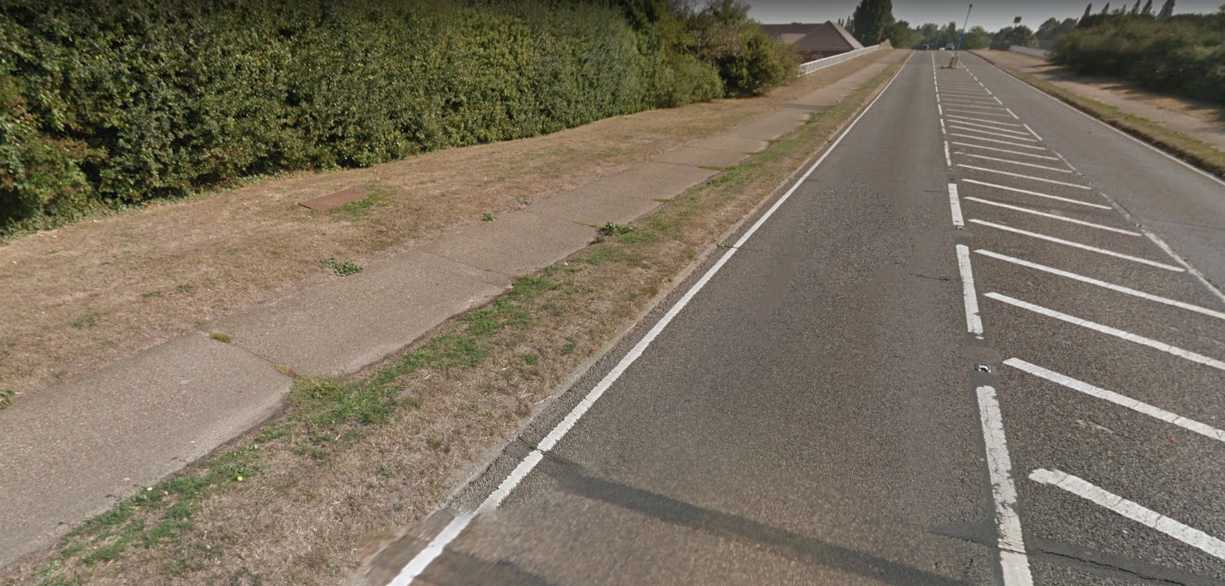
Today’s cycleway may have been 1930s footway.

Road type:

Urban dual carriageway.

Surface:

Modern asphalt.

Both sides of road:

Yes.

Adjacent to social housing:

No.

Period mapping:

OS, 1:10,000 surveyed/revised pre-1930 to 1954, published 1955 https://maps.nls.uk/view/189234333 Shows wide width of Eastern Avenue, but no cycle tracks shown.

OpenCycleMap status:

https://www.opencyclemap.org/?zoom=15&lat=51.85651&lon=-2.22049&layers=B0000 Cycleways shown on both sides of half of Eastern Avenue; no footways shown.

Sources:

Period maps, newspaper reports, Google Earth 1945 aerial layer.

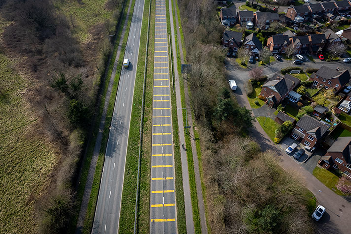
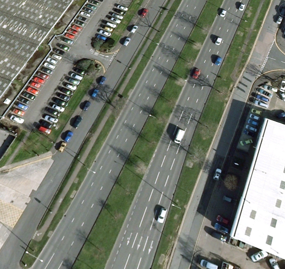
Google Earth aerial from 2007 showing cycle tracks on Eastern Avenue.

“The proposal of the City Council to construct new road between Barnwood-road and Finlay road have been approved by the Minister of Transport (Mr. Hore-Belisha), who has made a substantial grant from the Fund towards the cost,” reported the Gloucester Journal in 1936.

“The new road, which will form part of the ring road scheme, will be 2,380 yards long and will have overall width of 120 feet. Dual carriage-ways each 20 feet wide [and] divided central reservation 30 feet width, and 5ft wide footpaths will be provided immediately, and the verges between the carriage-ways and footpaths will allow space for the provision of cycle tracks at a later date.”

Part of the dual carriageway was open by June 1937, reported the newspaper.

“But it will only be when the new By-Pass section links up with Finlay-road that we shall see the dual system in its complete formation,” the newspaper added, saying that it would be “flanked by footways and cycle tracks.”

The footways — both sides of the road, and visible on Google Earth’s 1945 layer — are still there, now marked as cycleways on OpenCycleMap. It’s probable that the cycle tracks promised in 1936 never got added but it’s possible that the footways were used as cycle tracks from the start.

NOTES

“The new road, which ... Gloucester Journal, 3 October 1936.

Part of the dual ... ”Gloucester has had its dual carriageway in operation for some months. It is twelve months precisely since the new Railway Bridge spanning the Barnwood-road was swung into position. This affords ample space for dual carriageways passing under the Bridge to effect a new road junction. But it will only be when the new By-Pass section links up with Finlay-road that we shall see the dual system in its complete formation—one-way divided by a handsome width of grass verge and flanked by footways and cycle tracks.” Gloucester Journal, 19 June 1937.

Explore the tracks