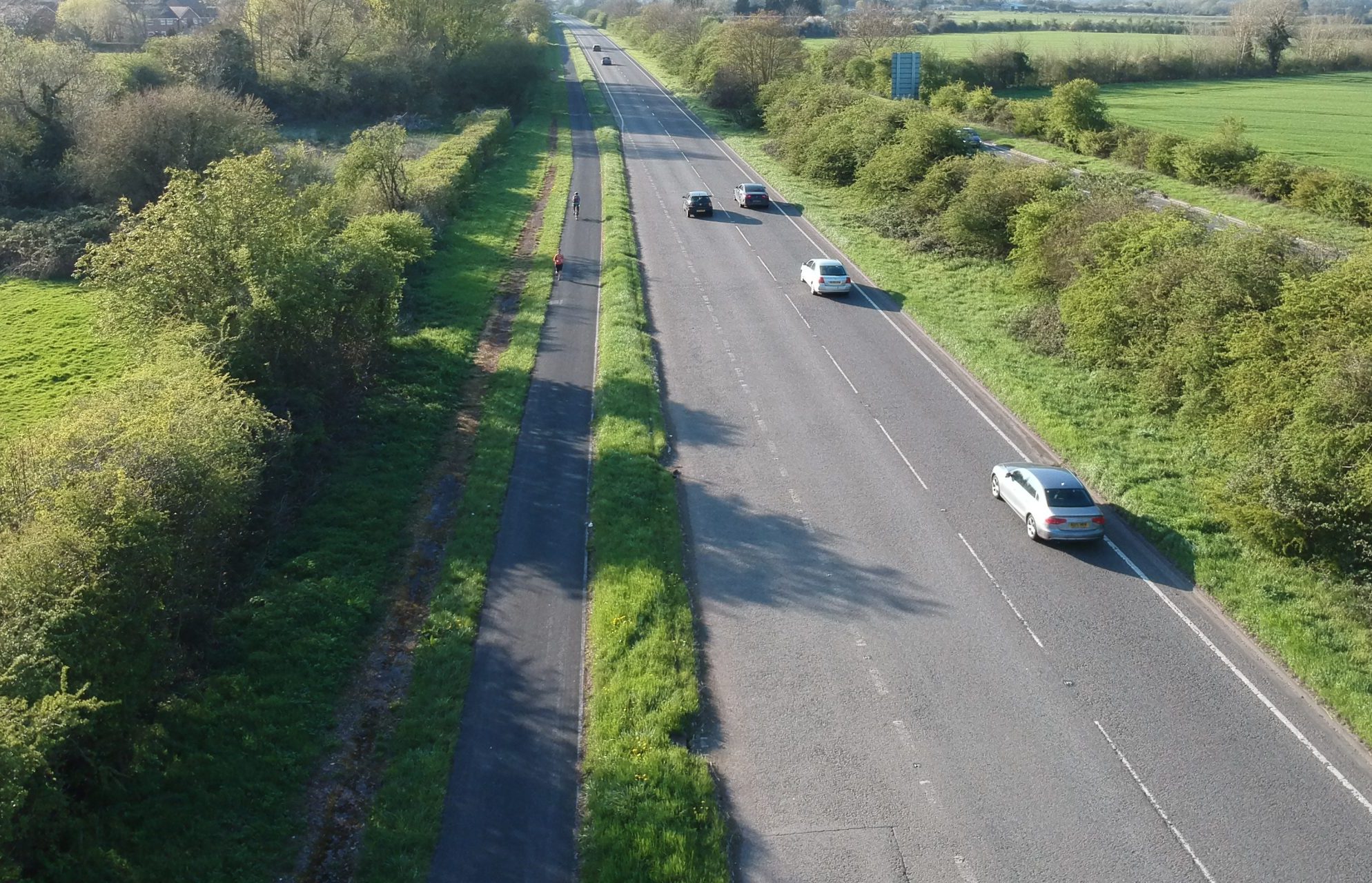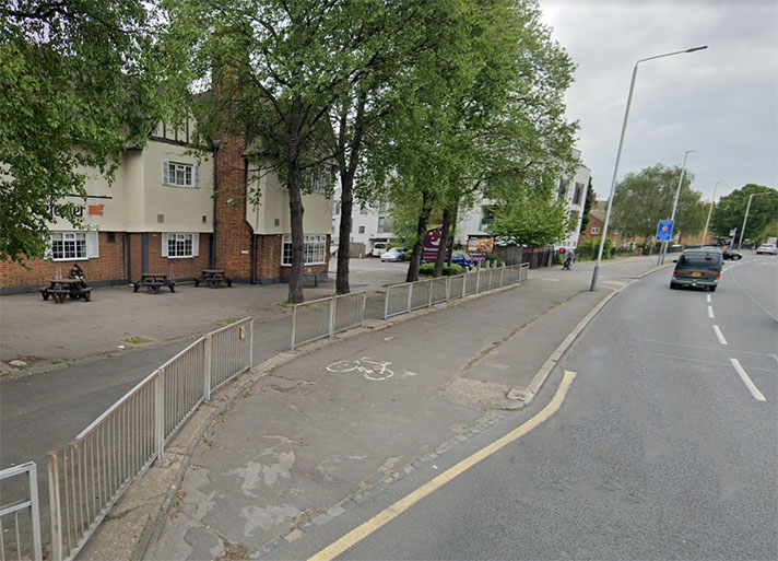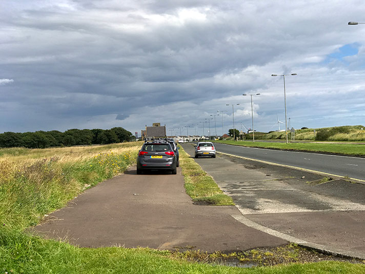
Oxford Northern bypass, Old Marston.
Oxford’s ring road was built in different eras, with the southern and northern bypasses constructed in the 1930s. The northern bypass — from Headington to Wolvercote — opened in July 1934 and was equipped with footways on both sides of the road. By 1938, these footways had been joined by cycle tracks. The road was single carriageway at this point; the cycle track and footway on the north side of the road were removed when the second carriageway was added after May 1970.
Google Earth’s 1945 aerial layer shows distinctive white lines where the cycle tracks were. These white lines continue from Wolvercote to Eynsham, suggesting the cycle tracks extended for a further 3.4 miles.
The A40 becomes single carriageway after Wolvercote, with remodelled but often quite narrow cycle tracks on both sides of the road. (A second carriageway is currently being added.)
In 1938, a newspaper reported that the Oxford Northern By-Pass from Headington to Eynsham Road had a “cycle track under construction.”
Another newspaper reported that even though the bypass “runs through deserted country and serves through, rather than local, traffic, it is fringed by expensive footpaths.”
Footpaths which were laid down when the road was built in 1934 but, now, reported the Western Mail “thousands of tons of gravel are being dumped on its embanked verges to carry cycle tracks.”
The newspaper added that “gangs of men uproot and replant trees planted too near the edge a few years back. These men, in many motorists’ opinions, may well be the only people to use the tracks and paths they’re building so carefully.”
In fact, while not as busy as the bypass the cycle track remains in use on almost the whole stretch between Headington and Eynsham. The footway is almost wholly covered with grass and other foliage.
Local cyclist Jonathan Ives takes a shovel with him on some trips, and uses the tool to peel away the undergrowth; extra width can be uncovered in seconds.
What looks like a slim, naturally-edged footpath can be swiftly revealed to be a wide, purpose-built cycle track.
The track has been resurfaced at some point (originally it would have been concrete, not asphalt) but has been allowed to degrade to a slither. Nature quickly buries neglected infrastructure.
This fading from view is not recent. In 1977, one of the designers of the road wrote to The Times complaining that the “tracks could just occasionally be seen through the grass which covered most of them.”
J. J. Leeming was Oxfordshire’s deputy county surveyor until 1946.
“I was in charge of the work on the county section of the Oxford northern by-pass, which was opened in 1935,” he wrote, adding a year to the opening date and forgetting that the cycle tracks were not added until 1938.
“We planned for bicycles by providing very expensive concrete cycle tracks on both sides of the road,” he said.
“A week ago I travelled over the road, and these tracks could just occasionally be seen through the grass which covered most of them.”
He didn’t blame the county council for neglecting to cut back the grass, he blamed cyclists saying that the overgrown cycle tracks were “hardly encouraging to engineers to plan for cycles.”


