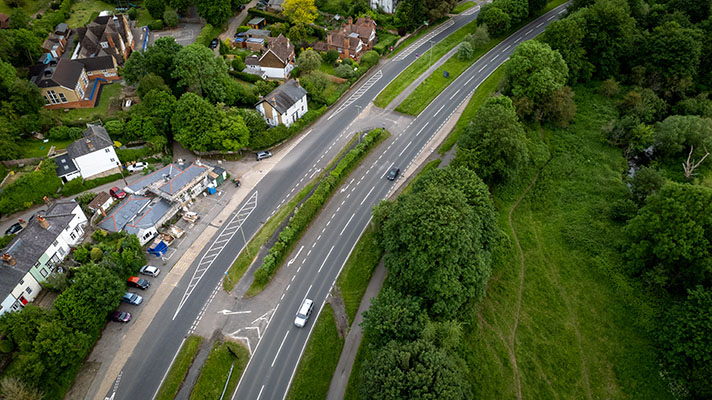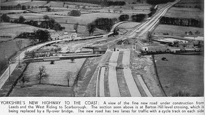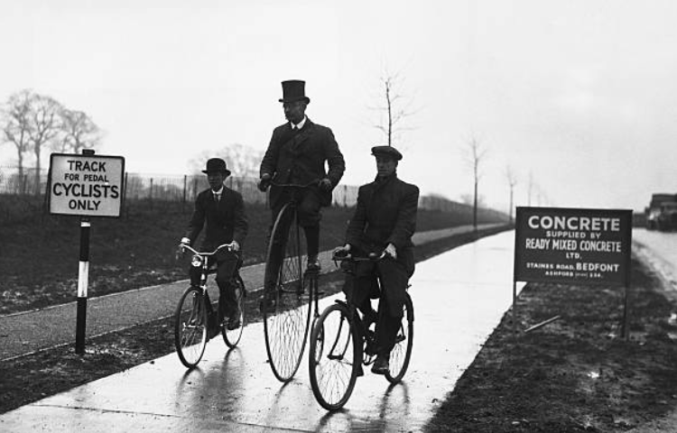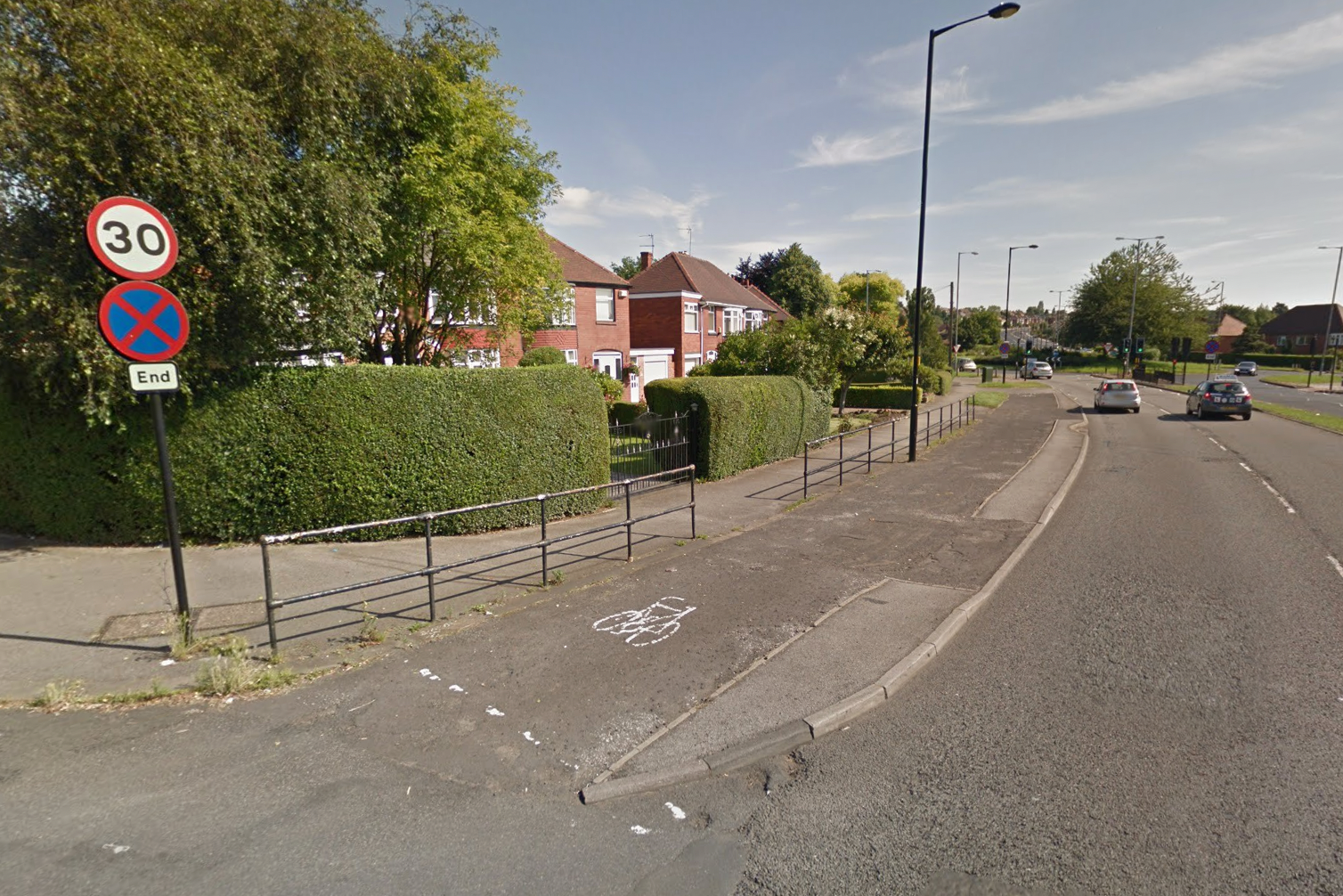
Footway and cycle track beside the East Bawtry road.
“Under a scheme which has been approved by the Minister of Transport part of the Tinsley-Bawtry Road, at Rotherham, will be widened by the Borough Council from 30 feet to an average of 160 feet,” reported a newspaper in 1937.
“The length of road concerned is between Whiston Cross Roads and Broom Lane, a distance of about three quarters a mile,” the newspaper continued.
“The proposed improvements include two 22-foot carriageways separated by a central reservation, two nine-foot cycle tracks, two 16-foot service roads, two eight-foot footways, and grass verges of varying dimensions.”
The road was widened some time after 1938. Under the headline “Road To Have Cycle Tracks,” the Sheffield Independent reported in July of that year that “Rotherham will soon have its first cycle tracks.”
The building work was estimated to take two years.
“The road will be equipped with cycle tracks as well as dual carriageways and footpaths,” confirmed the newspaper.
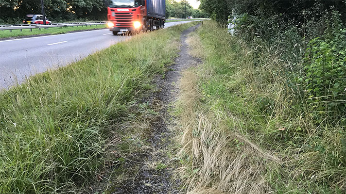
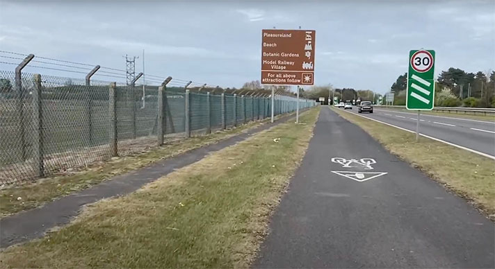
There’s mostly a single shared-use path on the ground today although remnants of the footway and cycle track can still be seen in some places.


