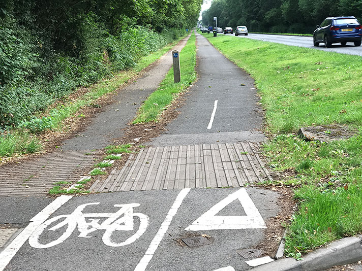
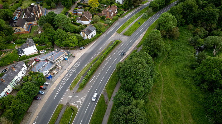
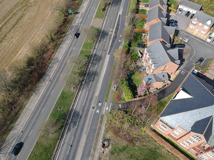
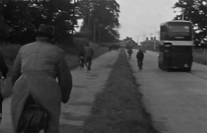
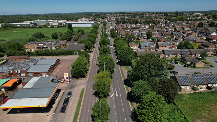
There is no documentary evidence confirming this is a 1930s-era cycle track but it features many of the hallmarks of one, including a grass verge between the cycle track and the footway.
The route of the road is ancient and there is mapping evidence that shows that widening took place some time after 1921. A 1936 newspaper report states that “to the north of Cannock, land was already being cleared for the provision of a dual carriageway to Stafford, 100 feet wide …”
It’s therefore likely that this part of the A34 was widened at Huntington, north of Cannock, some time soon after 1936.
Using the aerial layer of Google Earth it appears that room was taken to add another carriageway but this was not carried out. It’s therefore probable that the cycle track was added to one side of the road at the same time that it was being widened, with the intention to add another when the second carriageway was added.
There is a narrow footway on the west side of the road which could potentially be a cycle track.


